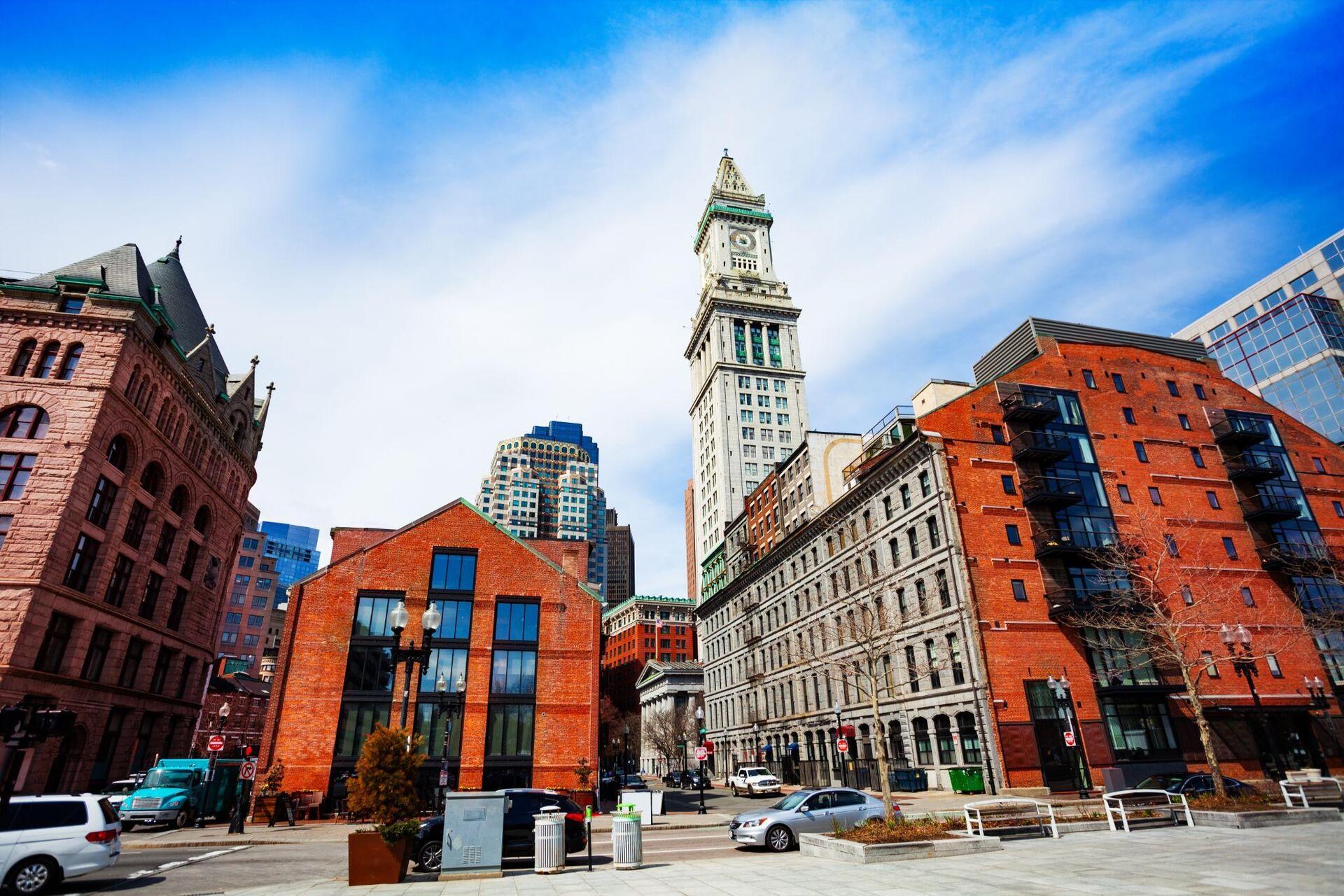


What if the best way to transform a city were to move its roads underground? In many major cities, tunnels and large-scale road-undergrounding projects are reshaping the urban landscape, freeing up space that has been occupied by motorways and congested roads for decades. Where asphalt, noise and traffic once dominated, parks, pedestrian routes, cycle lanes and new public spaces can emerge.
These transformations show how underground infrastructure can do far more than improve traffic flow: it can reconnect neighbourhoods divided by major roads, reclaim land for public use and reshape the relationship between people and the city. Because sometimes, the true impact of a major infrastructure project lies not only in what it builds underground, but also in what it makes possible above ground.
1 – Copenhagen Cityringen Metro
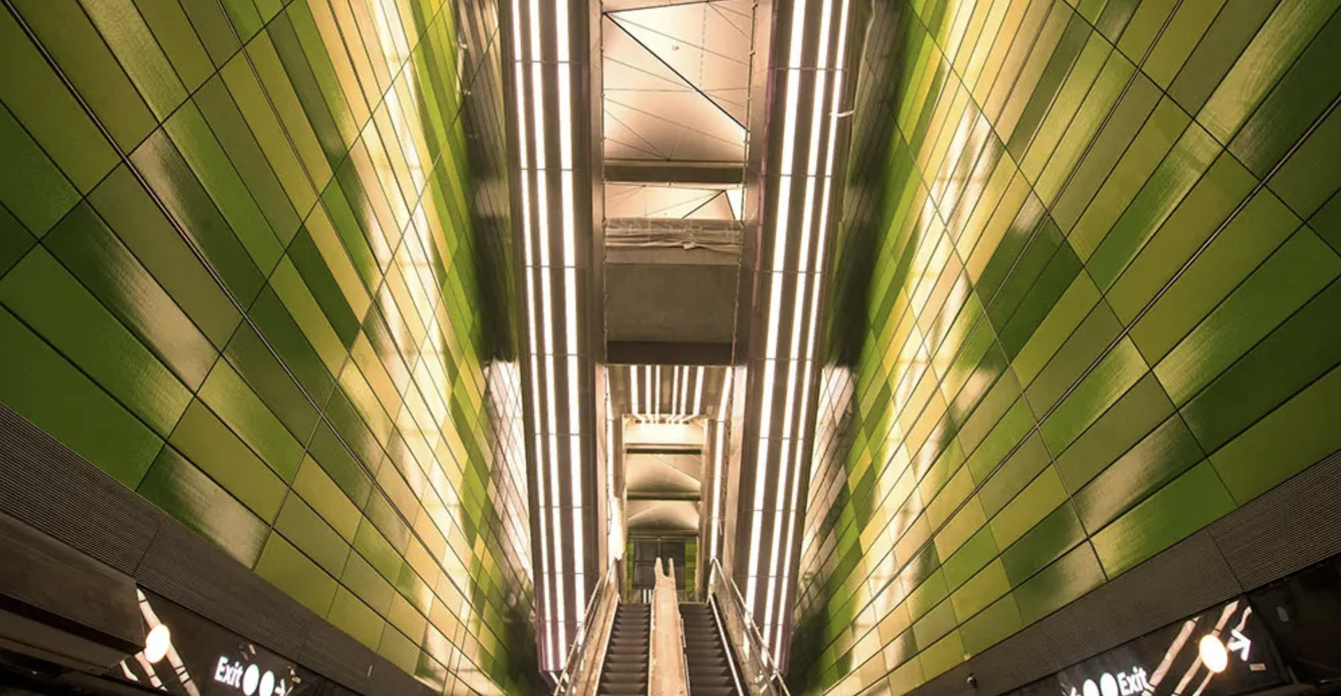
In Copenhagen, Denmark, part of the city’s urban transformation has taken place 30 metres beneath its streets.
The Cityringen, a metro loop built with contributions from the Webuild Group, comprises two parallel tunnels stretching 15.5 kilometres and 17 new stations encircling the Danish capital’s city centre.
Fully automated and operating 24 hours a day, the line serves around 240,000 passengers daily, providing an alternative to cars for getting around the city.
The challenge of the Cityringen was to build a metro beneath a densely populated urban centre without disrupting everyday life above ground. In some places, excavation work came within just 1.5 metres of the foundations of historic buildings, including the Magasin du Nord department store, without requiring it to close.
2 – Metro M4 Milano
In Milan, travelling across the city from east to west now takes just 30 minutes.
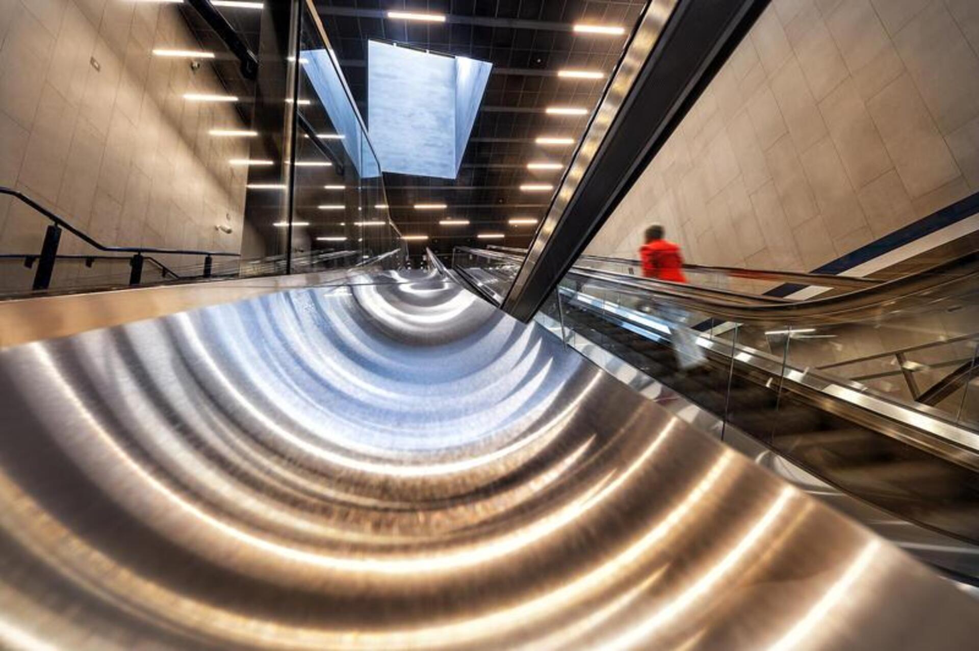
M4 Metro Line, the Blue Line built by Webuild, runs entirely underground for 15 kilometres, connecting Linate Airport to San Cristoforo with 21 stations.
Thanks to its driverless trains and connections with other metro and railway lines, the new infrastructure makes everyday journeys easier and brings the airport within just 12 minutes of the city centre, via San Babila metro station.
But the M4’s impact goes beyond faster urban mobility. Running beneath the city’s streets and squares, the M4 helps reduce surface traffic and integrates new transport links into the urban fabric.
3 – SR 99 Tunnel
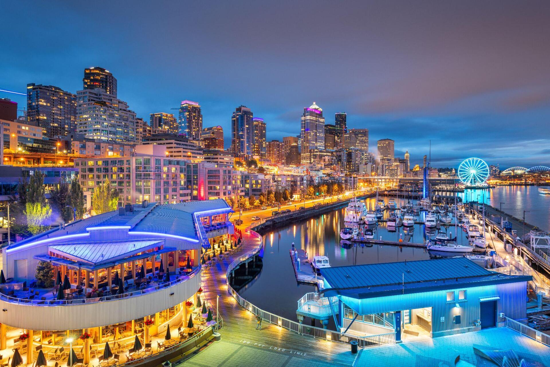
For decades, an elevated highway ran along Seattle’s waterfront, separating downtown from its connection to the water. Its replacement with the approximately 3.2-kilometre SR 99 tunnel, which opened to traffic in February 2019, made it possible to move a major part of the city’s road traffic underground.
Safety was also a key factor in the decision: the old viaduct had been damaged by the 2001 earthquake and was considered vulnerable to future seismic events.
Once the tunnel opened, the viaduct was demolished, freeing up space for new road connections, pedestrian routes and cycle lanes, and the redevelopment of the waterfront. The results go beyond traffic management: moving a highway underground has helped reconnect the city with its waterfront.
4 – M-30
For years, Madrid’s M-30 ring road ran alongside the Manzanares River, separating entire neighbourhoods from its banks.
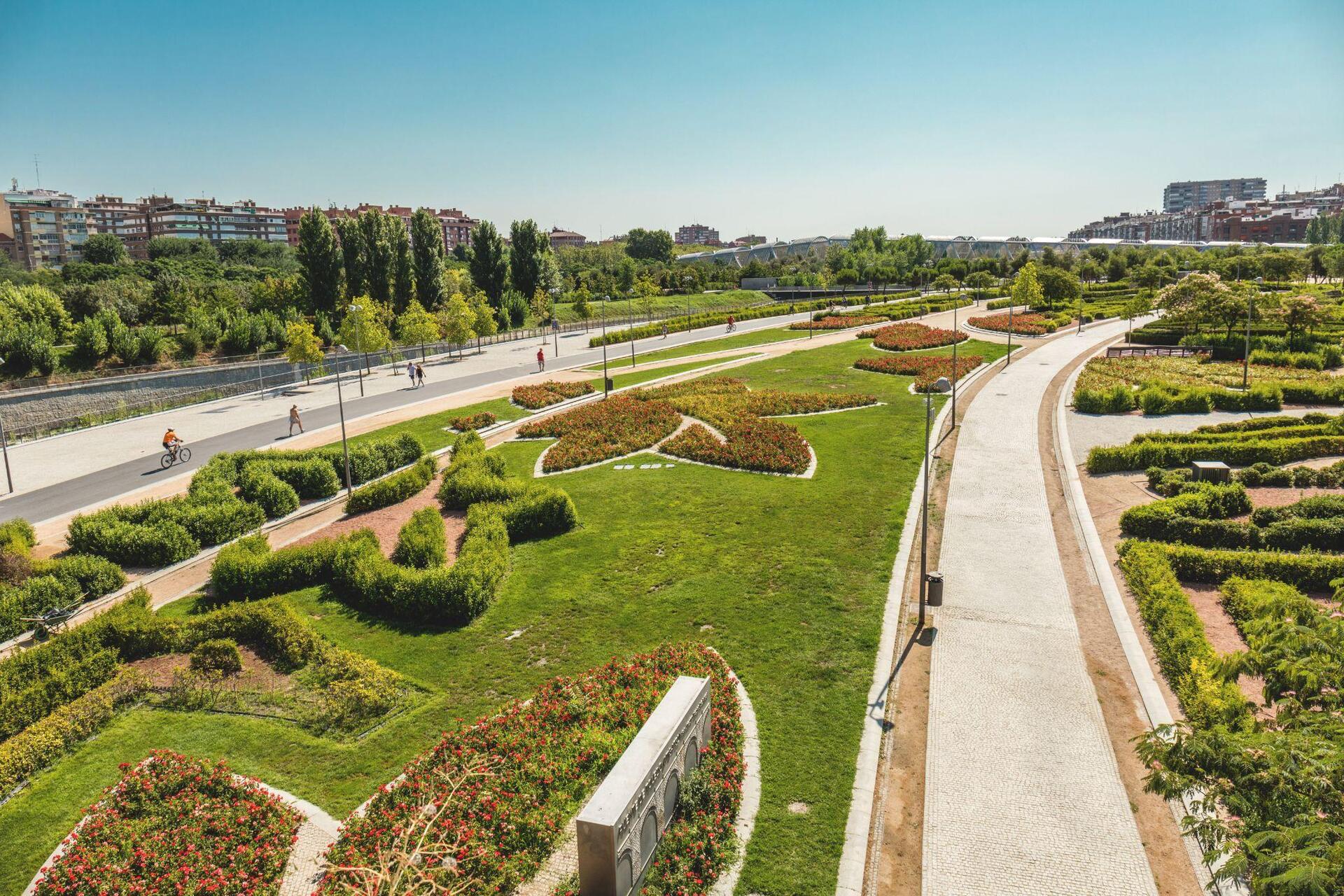
In the early 2000s, a major urban regeneration project moved several sections of the road underground, freeing up space at street level and reshaping the relationship between the city and the river. The result was Madrid Río, an urban park stretching along the banks of the Manzanares, where traffic had once occupied a significant part of the landscape.
In place of roadways and traffic noise came gardens, cycle lanes, walking routes, playgrounds and public spaces for people to gather. The urban regeneration project reconnected parts of the city that had long been divided by transport infrastructure, transforming the riverfront into a place to enjoy rather than simply pass through.
5 – Big Dig
For decades, an elevated highway cut through downtown Boston, dividing historic neighbourhoods from the waterfront.
Through the Big Dig, one of the most ambitious infrastructure projects in US history, the Central Artery was moved underground and replaced by a network of tunnels, while new bridges improved connections across the Charles River.
Work began in 1991, with the main construction phase completed in the 2000s, reshaping urban mobility in one of the country’s worst cities for traffic congestion.
The most visible transformation took place above ground. Where the old viaduct once stood, the Rose Kennedy Greenway emerged: a series of parks, gardens and public spaces running through downtown and reconnecting neighbourhoods previously divided by the infrastructure. The project created more than 300 acres of parks and open space, giving the city back areas to enjoy on foot and outdoors.