
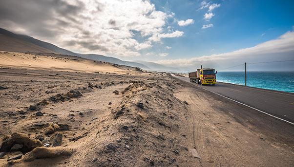
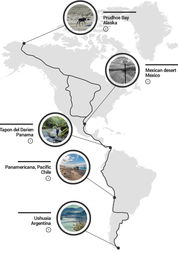
The Pan-American Highway can take many forms.
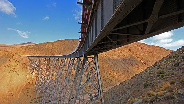
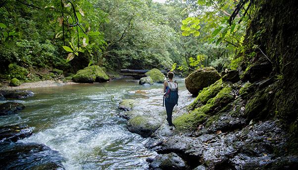
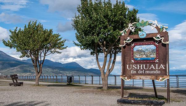
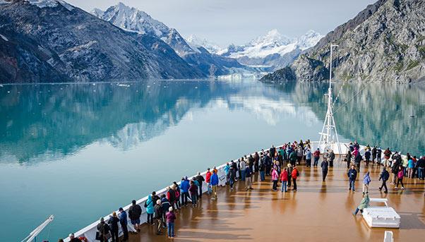
A road network of nearly 30,000 kilometres connecting the extreme points of the Americas, it is sometimes a two-lane road with no shoulder. At other times, it is a highway congested with buses and trucks. It can also appear to be an impassable track, whether it be near the glaciers of Ushuaia in Argentina, along the Andean mountains in Colombia or through a rainforest in Costa Rica. It can disappear altogether, as it does in the Darien Gap, a 87-kilometre stretch of rainforest separating Panama from South America.
Despite all these forms, the highway resists – exists – linking in one way or another Prudhoe Bay in Alaska with Ushuaia in Tierra del Fuego. According to Guinness World Records, the Pan-American Highway is the longest of its kind in the world, even if it changes in every country that it crosses, whether it be in length, width, state of repair or some other feature.
Since the 19th century, countries in the region have shared the dream of uniting the Americas by road or rail. In 1880, the United States became the first to try to make it a reality with the construction of a railway line running about 11,000 miles between New York and Buenos Aires. But this idea of a transcontinental line was, for the most part, to remain on paper. In 1923, the Fifth Pan-American Conference in Santiago de Chile abandoned it for a highway linking the United States with Panama. The cost would be some $55 million, with U.S. President John Calvin Coolidge, Jr., promising financial support to some Central American governments.
In 1936, the signing of another treaty in Buenos Aires gave the Pan-American Highway a more formal endorsement on behalf of the participating countries. The highway, however, would never become a joint effort – even at the political level.
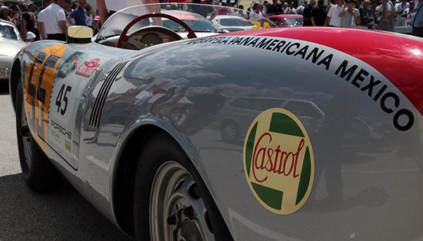
Countries often went about its construction without much coordination among themselves. The first sections of the highway were built in the United States and Mexico. As the first to inaugurate its section of 960 kilometres in 1943, Mexico drew enough attention from enthusiasts to be able to host an international motor race called the “Carrera panamericana” seven years later. The high number of fatal accidents that the race would witness in subsequent years would lead to its demise in 1954.
In South America, Venezuela, Colombia and Ecuador went about their own way in building a shared highway, baptized “Carretera Bolivariana”. In Peru, the government began in the 1930s to build a highway to favor transportation along its coast. It went all the way down to Santiago de Chile, where the highway veered east and headed towards Mendoza, Argentina, through the Uspallata Pass at an elevation of nearly 4,000 metres above sea level in the Andean mountains where snow remains for six months of the year.
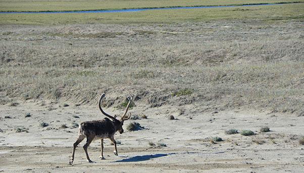
So the Pan-American Highway was to become a fragmented route crossing 14 countries with wildly different landscapes, from arctic tundra to evergreen forests, from prairies to mountain peaks to desert.
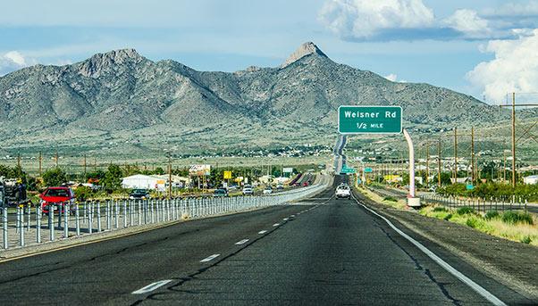
In North America, it is not officially identified because it blends into the Interstate Highway System. As it heads towards Mexico, it takes in Interstate 35 in Dallas, Texas or Interstate 25 in Denver, Colorado before reaching Las Cruces, New Mexico.
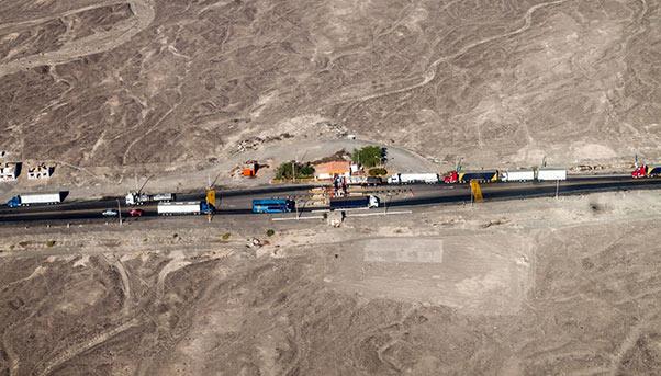
From Nuevo Laredo, Mexico, it heads south to Central America, passing through all of the major capitals save Tegucigalpa in Honduras. It is in these parts that the highway becomes adventurous. In Costa Rica, it rises to 3,335 metres to reach a summit called Cerro de la Muerte. The highest point, however, is reached much further south in Argentina where it crosses the Uspallata Pass at 3,832 metres. The highway would later go to pass through Tunel del Cristo Redentor, a mountain tunnel at 3,200 metres.
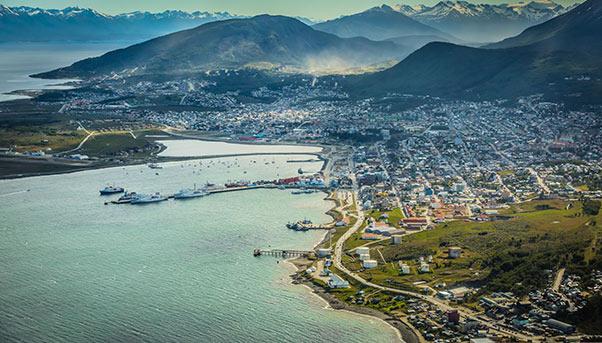
In Argentina, the highway goes for 3,045 kilometres from Buenos Aires to Ushuaia on Isla Grande in Tierra del Fuego, considered by the country’s government as the southernmost town in the world.
Travelling the entire length of the Pan-American Highway takes not only courage but physical resistance. In 1987, travel writer Tim Cahill did it 23 days, 22 hours and 43 minutes – a record that he retells in his book, “Road Fever”. Another record was set by British adventurer George Meegan who did it on foot in 2,425 days between 1977 and 1983.