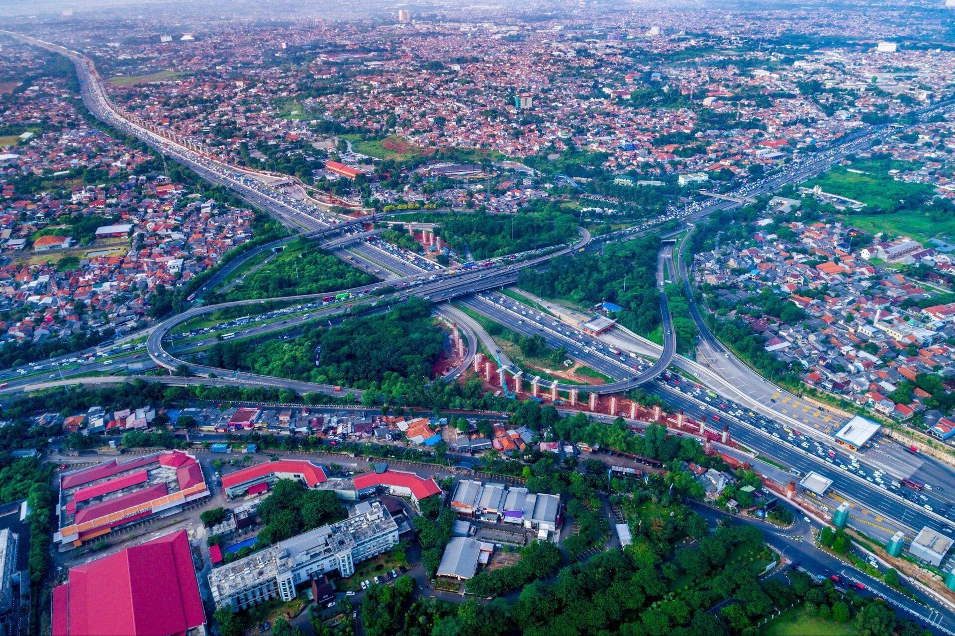


Cities grow not only where new buildings rise, but also along the roads and the motorways that connect them to the wider world. Ring roads, highway interchanges and major motorway junctions are often the silent engines of urbanization: they improve access to new areas, bring previously distant neighbourhoods closer together, and link residential districts with industrial zones and commercial hubs.
This is how metropolitan areas spread beyond their traditional boundaries, transforming once-peripheral areas into new centres of living and working. From the United States to Asia, via Europe, here are five major road interchanges that show how infrastructure can support urban growth and reshape the way we live in cities.
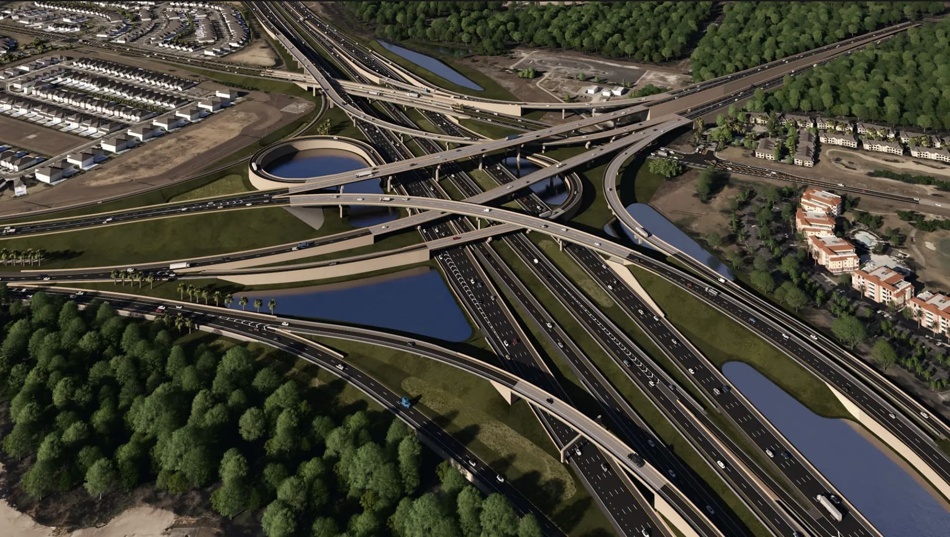
1 – I-4, Florida
In Florida, urban growth is closely tied to the state’s highways. With new residential communities, shopping areas and millions of tourists heading to Orlando’s theme parks, getting from one part of the region to another has become an essential part of everyday life.
To meet these growing demands, Lane, the US subsidiary of the Webuild Group, is working on the Moving I-4 Forward project, which aims to improve one of the most important transportation corridors in central Florida. The infrastructure project focuses on the section where Interstate 4 meets State Road 429 and includes new lanes and connections designed to keep traffic flowing more smoothly.
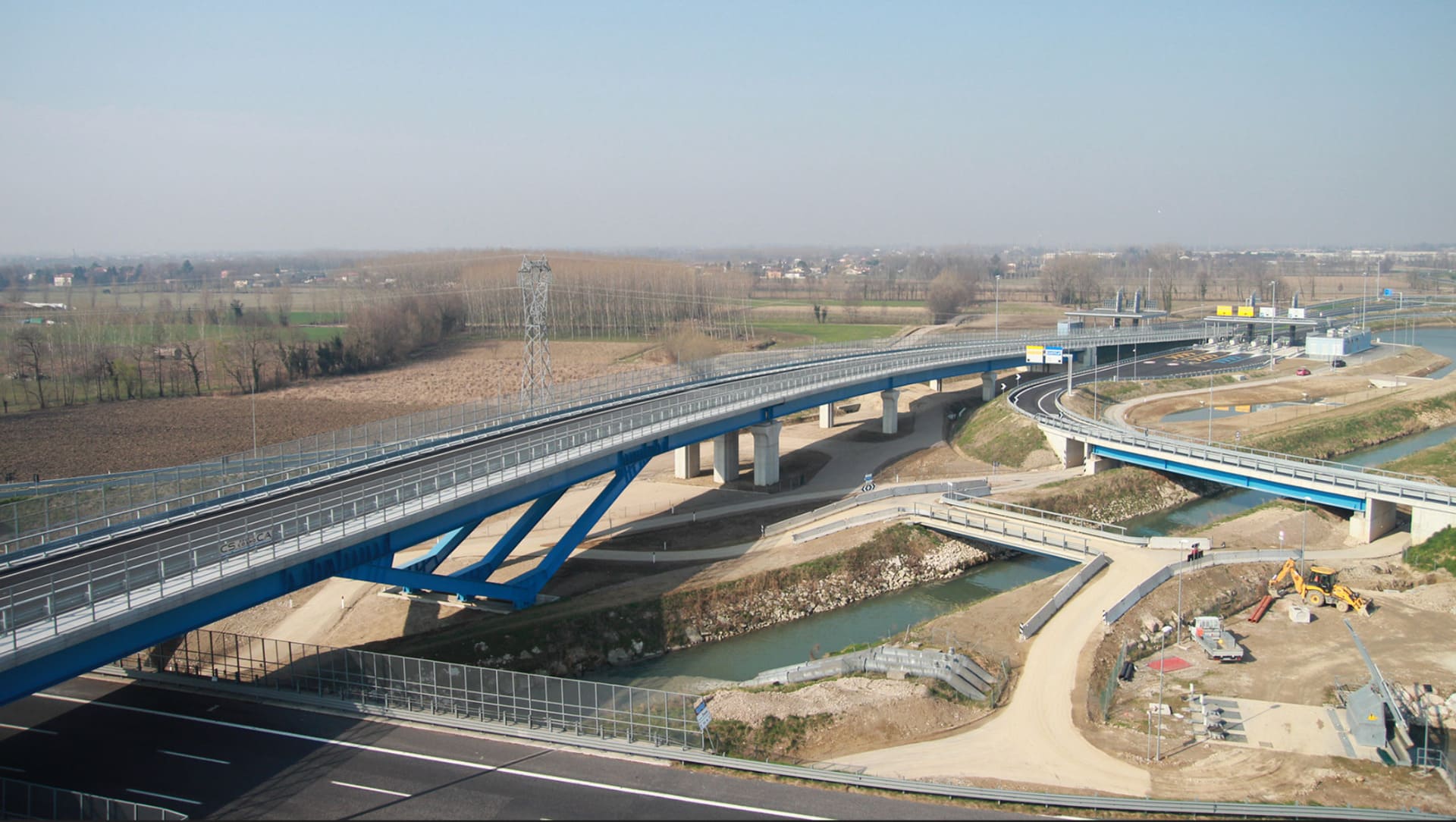
2 – A4 Highway – Mestre Bypass, Venice
For drivers travelling through Mestre, the difference is measured above all in time spent on the road. The Mestre Bypass on the A4 motorway, which opened in 2009, was designed to ease traffic congestion on the beltway and separate through-traffic heading for other destinations from vehicles travelling to Venice and its surrounding urban area.
Stretching for approximately 33 kilometres, the infrastructure project was built by a consortium of companies that included Impregilo, now part of the Webuild Group. It provides an alternative route through one of northern Italy’s busiest areas.
The result is a transportation link that helps distribute traffic more efficiently and keep journeys moving, serving a densely urbanised area where local travel and long-distance traffic flows converge every day.
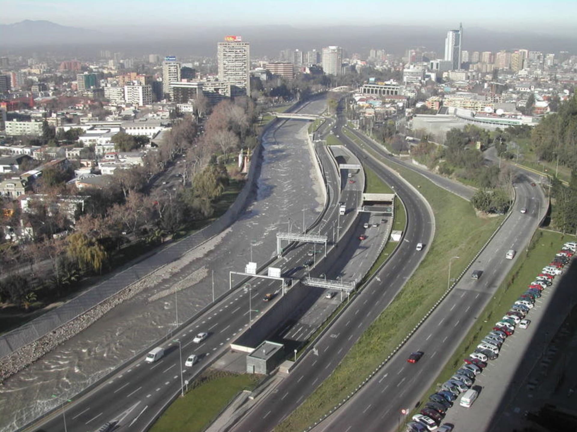
3 – “East – West” Highway, Santiago de Chile
How do you get across a city of nearly six million people without turning every journey into an obstacle course? In Santiago, Chile, part of the answer lies in the Oriente-Poniente motorway system, developed to improve connections between the capital’s eastern and western districts, the city centre and the airport.
One of its key components is the Costanera Norte, built with the involvement of Impregilo, now part of the Webuild Group. The motorway has made journeys across some of the city’s most densely urbanised areas more direct.
Among its most distinctive features are the tunnels running beneath the bed of the Mapocho River. Stretching for around four kilometres, these tunnels allow traffic to cross Santiago without disrupting road flows at street level.
The system has also helped reshape parts of the urban landscape, showing how infrastructure can improve connectivity and transform the way different parts of a metropolitan area interact.
4 – M25 London Orbital Motorway
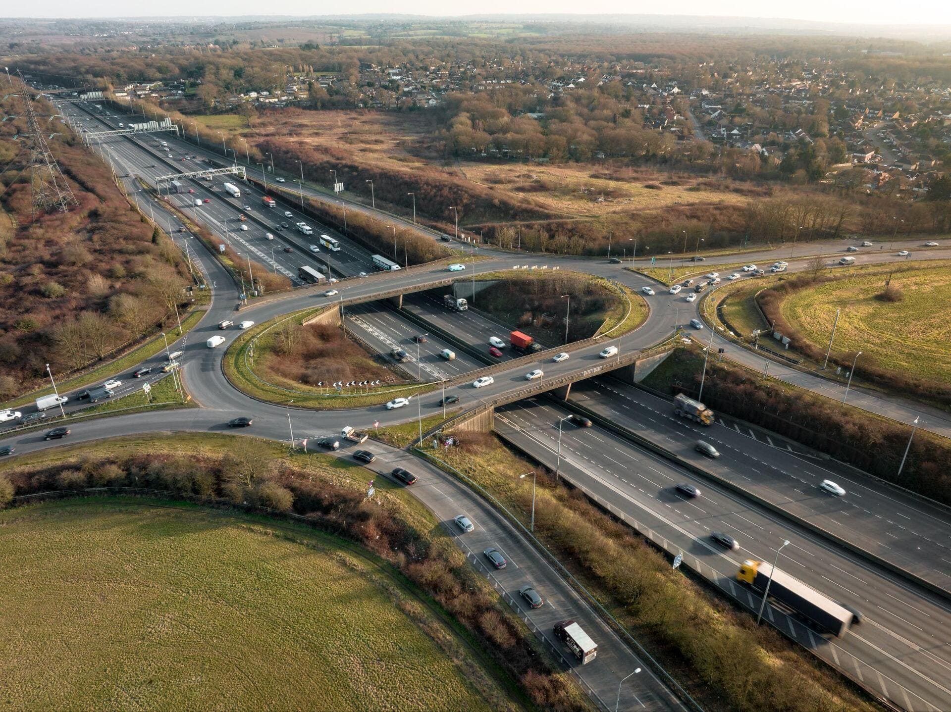
In London, one of the best examples of how transportation links can shape the development of a region is a road that runs all the way around the city. The M25, the British capital’s orbital motorway, allows drivers to travel between different parts of the metropolitan area without having to cross the city centre.
But its impact goes beyond traffic management. A study published in the *Journal of Transport Geography* in 1996 examined the relationship between the construction of the motorway, local accessibility and economic development. It found that improvements in accessibility associated with the M25 were linked to economic growth in some of the areas it served.
It is an example of how a road can change distances not only on the map, but also in terms of the opportunities available to a region.
5 – Jakarta Outer Ring Road, Indonesia
In Jakarta, Indonesia, the city seems to have no end in sight. Its vast metropolitan area continues to expand, with new residential neighbourhoods and developments spreading ever farther from the centre.
Helping make these areas accessible is the Jakarta Outer Ring Road, a major orbital highway that encircles the capital and connects suburbs, commercial hubs and industrial areas. This road network makes it easier to travel across an extensive metropolitan area and supports the transformation of once-marginal locations into new urban spaces.
It is another example of the wider impact of major infrastructure: roads do more than simply speed up journeys. They can shape urbanization, gradually shifting the boundary between centre and periphery and redrawing the geography of the metropolitan area.