
- Webuild is resorting to satellite imagery to ensure its work on a railway section near Catania is not harming nearby orchards
- With the help of the CSEI at the University of Catania, it monitors the health of the fruit trees by analysing how their foliage reflects sun light
- Webuild adopts strict measures to prevent dust clouds from forming over its construction site
- Dust particles can clog the pores of leaves and affect the productive life of the trees
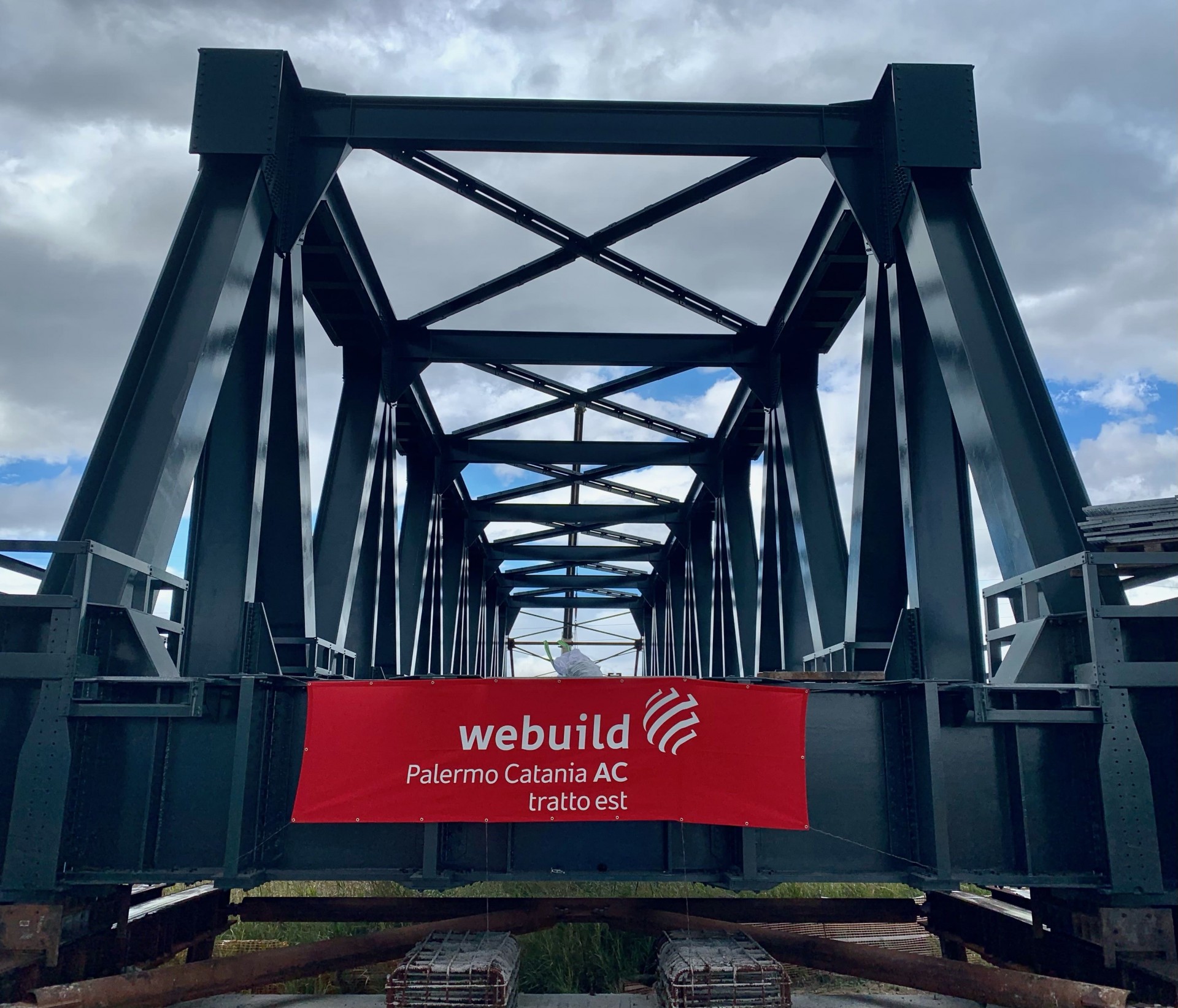
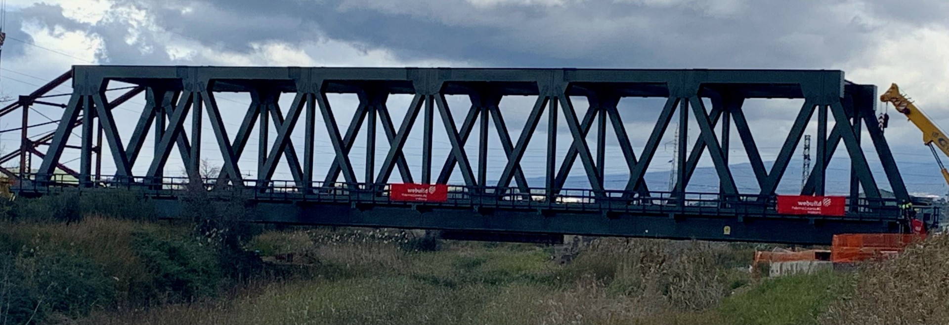
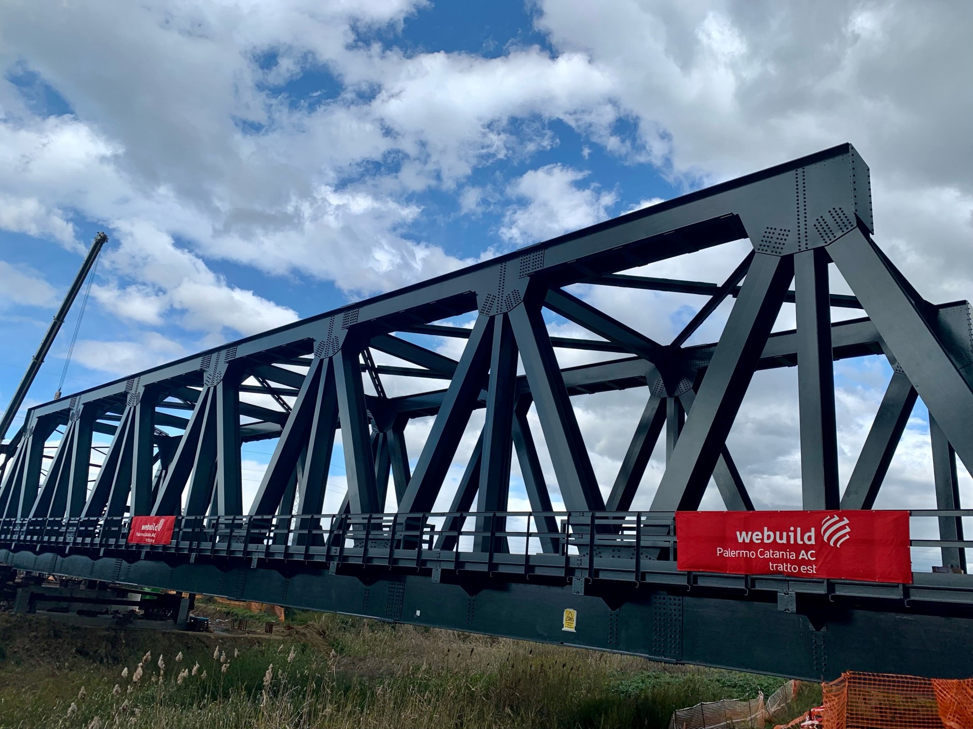
- Webuild’s work is part of a project to improve the railway connection between Catania and Palermo
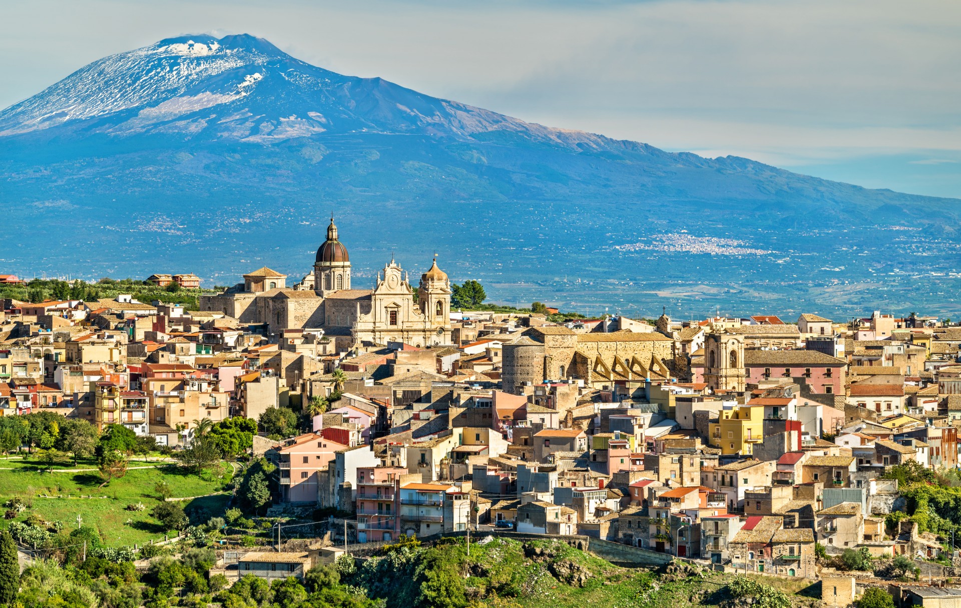
As the highest active volcano in Europe, Mount Etna offers a number of advantages to those who live and work near it.
Rising for more than 3,330 metres above sea level on the east coast of Sicily, it provides soil rich in minerals for cultivation.
It draws countless numbers of tourists.
And it is the subject of close monitoring by satellite high above, leading to the production of scores of images that can be used for a variety of purposes.
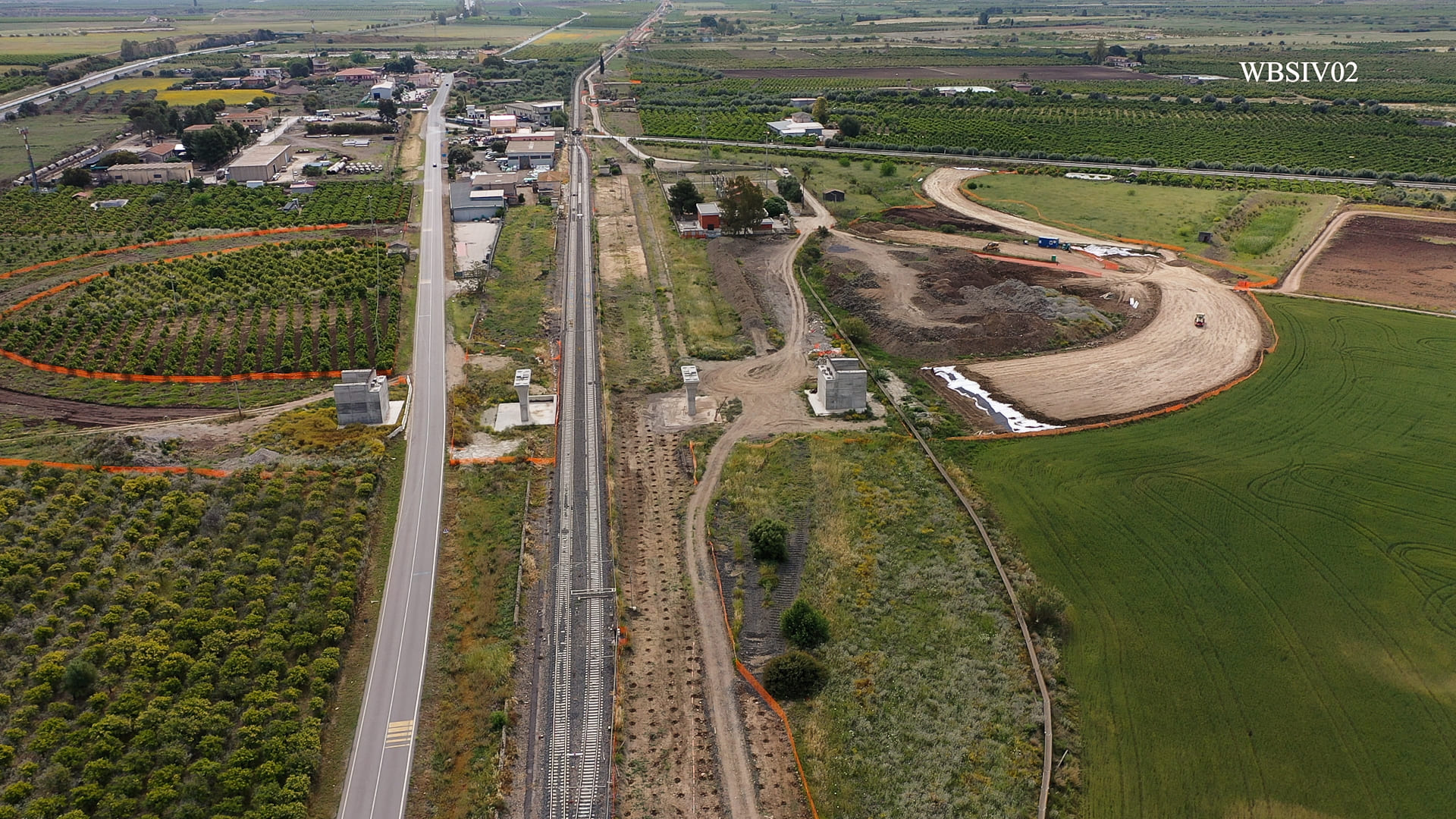
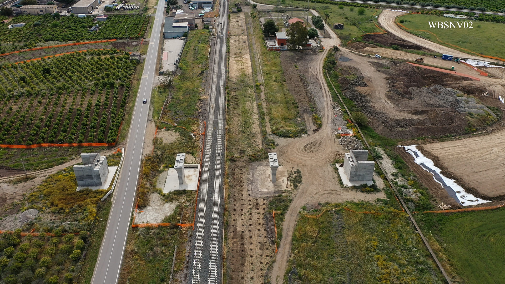
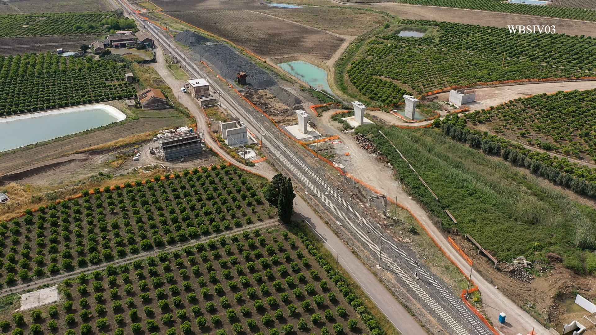
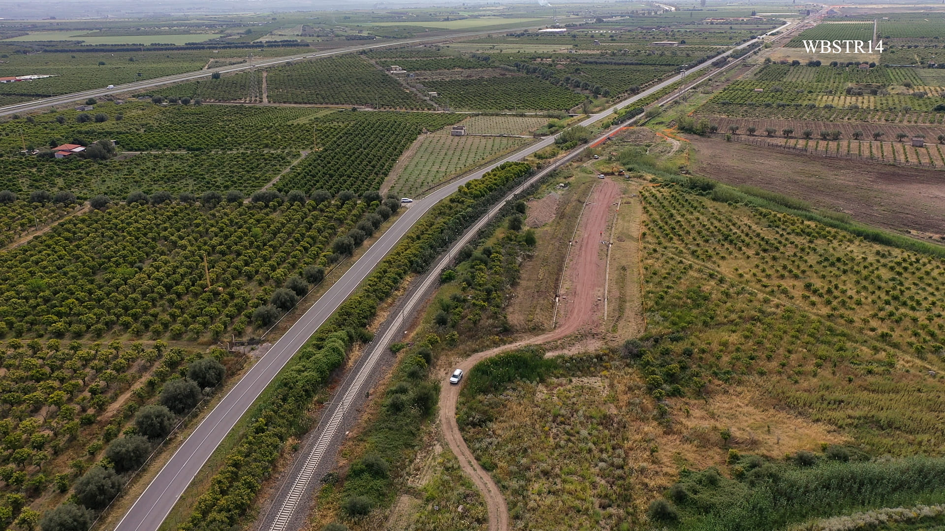
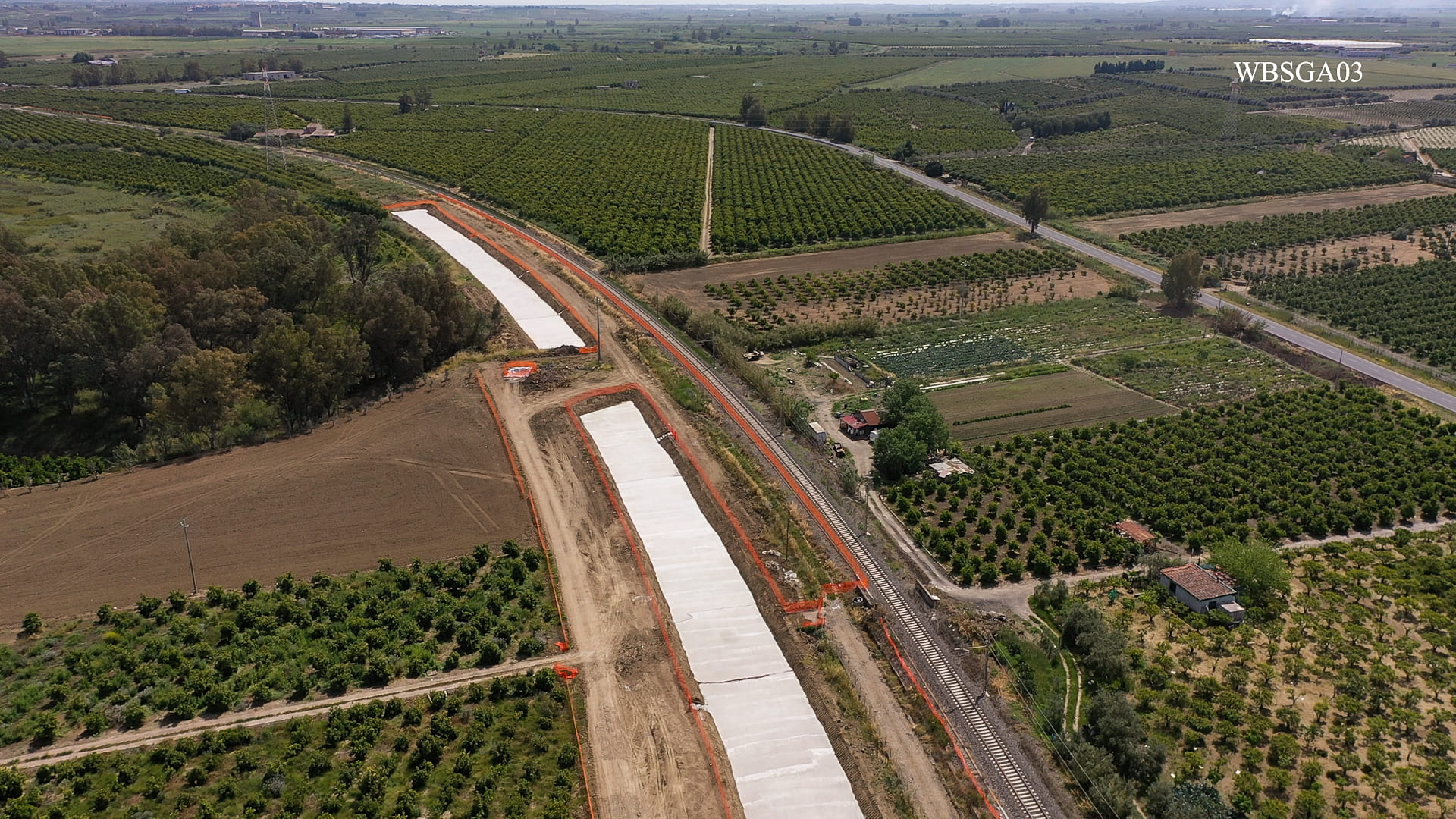
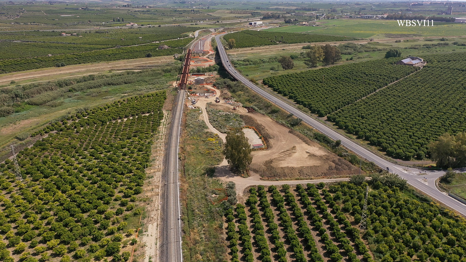
One such purpose is the monitoring of the state of health of the foliage of fruit trees on 3,000 hectares of farmland on either side of a construction site where a 38-kilometre section of a railway is being upgraded near Catania.
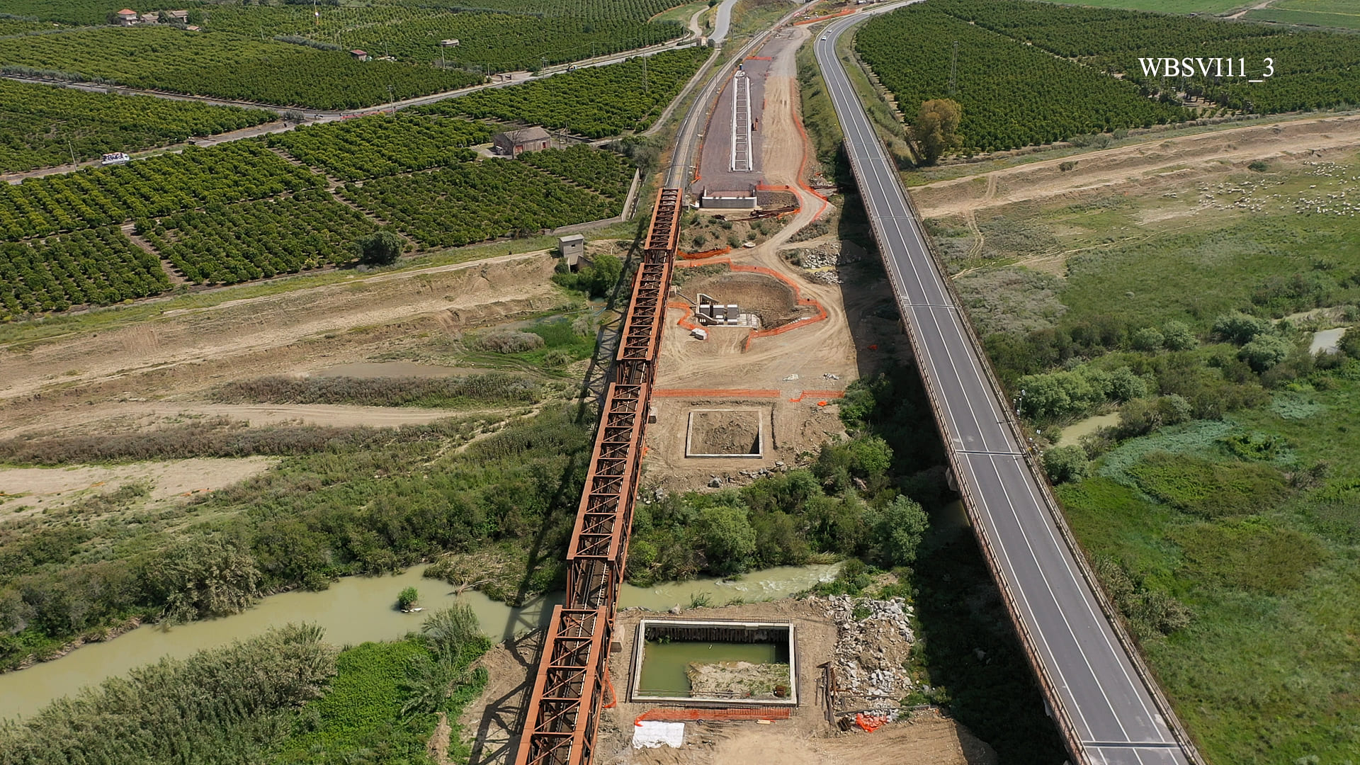
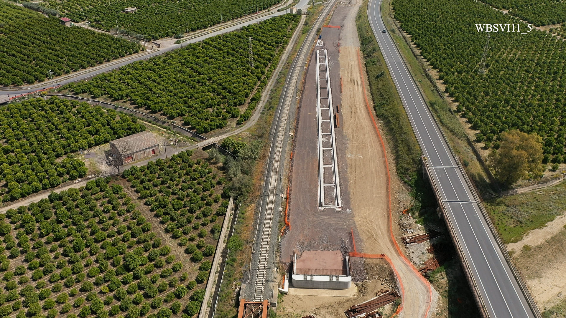
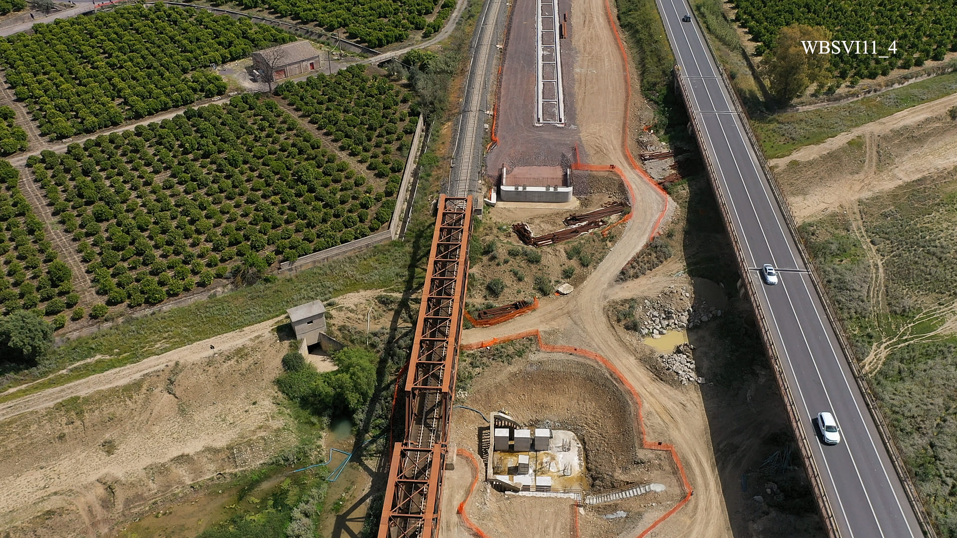
Work among the orchards
The tractors, trucks and other heavy machinery that are preparing the ground for the laying of tracks have the potential to produce a lot of dust that can cover the leaves of the trees. If too much dust enters the pores of the leaves, it can have an adverse effect on fruit production. This risk is heightened by the fact that there is little rain in Sicily.
The trees being surveyed by satellite are located on either side of the railway section under construction between the areas of Bicocca and Catenanuova. They form a corridor that is about one kilometre wide, or 500 metres on either side of the planned route.
Attentive to the impact that its work can have on the trees, Webuild, the Italian civil engineering group overseeing the construction of the section, is resorting to the expertise of the Centro Studi di Economia Applicata all’Ingegneria (CSEI) at the University of Catania to monitor the foliage of the trees. The group wants to make sure the measures that it has put in place are enough to keep them healthy. For instance, the trucks that carry away the excavated earth have their loads covered with tarp, drive at a maximum speed limit of 20 kilometres per hour, then leave the area to have water tank trucks spray the ground to keep it moist.
Remote sensing thanks to Mount Etna satellite images
Since the orchards are located near Mount Etna, it is easy for the CSEI’s experts to download multispectral satellite images of the trees and their foliage from the European Space Agency. Each image covers an area 10 metres by 10 metres. The images are called multispectral because they show data within a specific wavelength on the electromagnetic spectrum. Their use is called remote sensing, which monitors the physical characteristics of an area by measuring its reflected and emitted radiation.
By analysing the images taken by two satellites – Sentinel-2A and Sentinel-2B – the CSEI can analyse how the leaves of each tree reflect the rays of the sun. It refers to a satellite vegetation index called the Normalized Difference Vegetation Index (NDVI) to measure the health of the trees. The CSEI then compares the results with those produced in 2018, a year before work began. Simona Consoli, an expert in the analysis of satellite images who is coordinating the work at the CSEI, downloads the images during four main periods of vegetative development: April, July, September and October-November.
Consoli, a professor at the University of Catania in agricultural hydraulics, applies her expertise to the agricultural sector in Italy and other countries in the Mediterranean Basin like Spain, Morocco and Egypt. In Spain, for instance, the CSEI studies olive groves. The centre has also been analysing satellite imagery across Italy to monitor water resources in a country where a severe drought struck last summer.
Catania-Palermo railway
The railway section under construction is part of a project to improve train service between Catania and Palermo and reduce travel times between the island’s two biggest cities to two rather than three hours. Freight will also travel on the railway, improving the competitiveness of the island’s economy.
The project belongs to a European Union initiative to improve road and rail connections across the continent. Known as the Trans-European Transport Network (TEN-T), the connections are classified as corridors. The railway in Sicily will be part of the Scandinavia-Mediterranean Corridor.
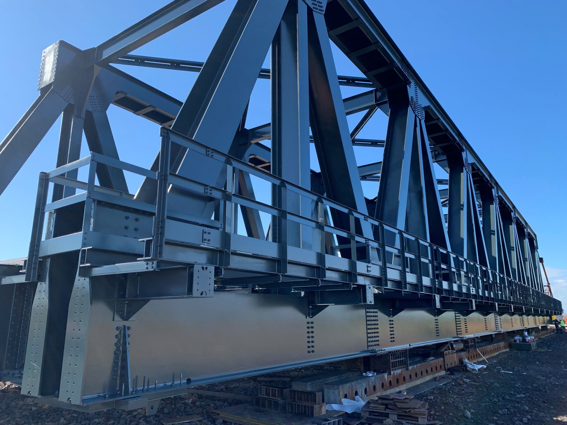
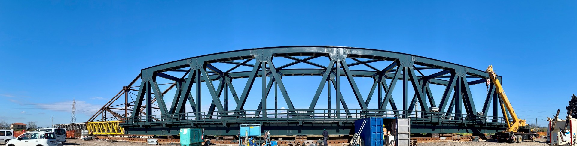
The 38-kilometre section being developed by Webuild includes 18 viaducts for a combined 500 metres.
At the moment, trains cannot exceed speeds of 90 kilometres per hour, and are obliged to stop to let others pass because they run along a single track. Webuild is doubling the track so trains can travel at up to 200 kilometres per hour. It will also redevelop the station at Bicocca.